The Roof of Africa
/Up the Sani Pass
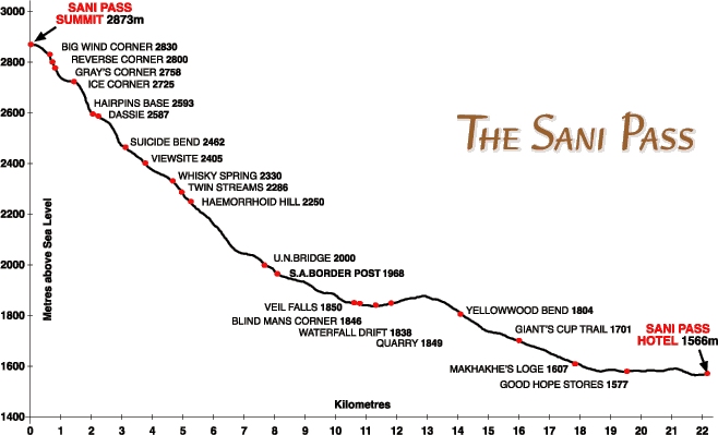
Originally used by the San people (aka Bushmen) as a footpath, the Sani Pass is the only eastern entrance from Kwa-Zulu Natal, South Africa into the Kingdom of Lesotho. (Remember, that's pronounced Leh-soo-too.) It connects Himeville/Underberg, South Africa to the little village of Mokhotlong in Lesotho. It's referred to as the Roof of Africa and is reputedly the highest pass in South Africa. (Some claim it's the third highest road in the world, but being from Colorado, we know that's not true.) The pass peaks at 3200m (10,500') above sea level. Our route would start at 1544m (5,067') at the Sani Lodge and climb 1332 vertical meters (4,370') to an altitude of 2876m (9,436). The road is notoriously dangerous and 4x4 vehicles are required.
The Sani Pass became the main route by mule for the early traders, missionaries, adventurers and travelers from Natal into the highest, coldest and most remote district of the old Crown Colony of Basutoland (now known as the Kingdom of Lesotho). The first person to drive the pass in a vehicle was Godfrey Edmonds in October 1948. This was before the road was built and it was no wider than a donkey track and littered with boulders. It took him five and a half hours to reach the summit in a Willys Jeep, assisted by a team of Basothos (people from Lesotho) with mules and ropes. In 1955, an upgrade was done.
The day dawned bright, sunny and cool. We met up with our tour guide, Tsebo, at 9am and hopped into a Land Rover. The pass lies between the border posts of South Africa and Lesotho and is about 8km (5 miles) of steep gradients, sharp switchbacks, loose rocks, mud, river traverses and generally rough, rough road. It's all part of the uKhahlamba-Drakensberg World Heritage Site, noted for its unique flora, fauna, geology and culture. We were hoping the Land Rover could handle the job for us without the help of mules.
Our first stop was at the remains of the Good Hope Trading Station c. 1920 at the bottom of the Pass. This station provided accommodation for travelers as well as a general store and trading post for the Basotho shepherds who brought their wool and hides to trade for maize (corn), the local staple and other basic trade goods. The station closed in 1990 and is in ruins, but still used as the local combi (mini-van taxi) stand.
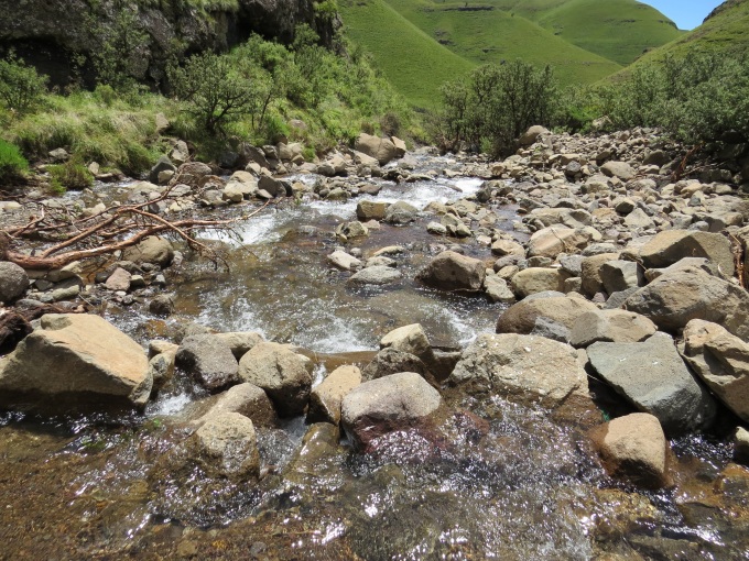
Tsebo was remarkably knowledgeable about the Sani Pass, its geology, flora, fauna and history. He pointed out birds and animals along the route, as well as geological features and peppered it all with history and humor. We passed waterfall after waterfall and drove through many a fast-running stream.
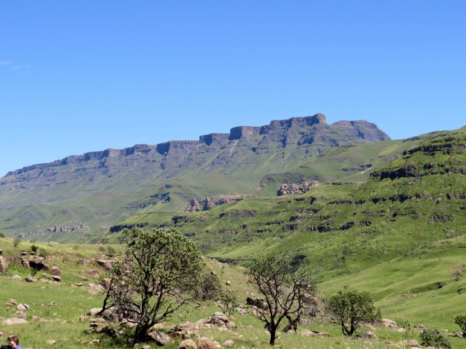
We made several stops for scenic viewpoints of the pass and landmark features like the Giant's Cup and the Twelve Apostles.
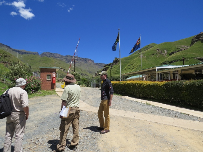
We finally arrived at the South African border post. In the middle of nowhere, this post was neat and tidy with clean restrooms and friendly officials. Up till this point, the road was quite benign … a few rough spots, but nothing overly daunting. The next 8 km, however, would prove to be a bit more hair-raising.
As we climbed higher and higher, the road became rougher and rougher with sharp switchbacks, rock falls and boulders, huge potholes and river crossings, until sometimes it didn't look like a road at all. The Land Rover and Tsebo, however, seemed to know their way and despite some challenging, gut-rattling maneuvers, we made it … all in one piece.
Slowly and cautiously, we continued our climb up, up, up and finally arrived at the Lesotho border post which was very grim comparative to the South African post.
A faded sign announced our arrival at the top of the Sani Pass. We were standing on the Roof of Africa.
Tomorrow, we'll venture further into Lesotho and learn more about this tiny kingdom in the sky.


